In recent years, there has been no greater scrutiny on public spending than in local authorities, as central government and local communities want to ensure they are getting the best value for their money. Authorities are looking at ways in which they can work more efficiently and find innovative ways of optimising public spend. Geospatial technology represents a compelling tool to drive better value for residents.
Working with a local authority in the north of England, AtkinsRéalis helped it change the way its geographic information system (GIS) data was perceived and used, establishing a culture that shares knowledge. The authority has estimated that 25,000+ hours of council time will be saved annually across the organisation, as geospatial technologies help inform everyday decision-making. By supporting the authority to meet its people’s growing demand for GIS services, we helped it enhance the effective provision of a range of its public services, such as public health, children’s services and planning.
 Francesca Downey, GIS Associate Director at AtkinsRéalis
Devising a strategy
GIS creates, manages and analyses spatial data. In its simplest form, spatial data allows us to visualise and investigate information on a map, at street, city, county and country scales to inform decisions. Local authorities are trying to solve multi-faceted problems across a range of sectors and stakeholders with differing priorities and needs. They need to plan waste collection routes effectively, determine catchment areas for schools and ensure planning applications are rigorously assessed. Often in these situations, location is the only unifying factor. GIS offers the opportunity to look at challenges in a holistic way that all users can understand, informing better decision-making.
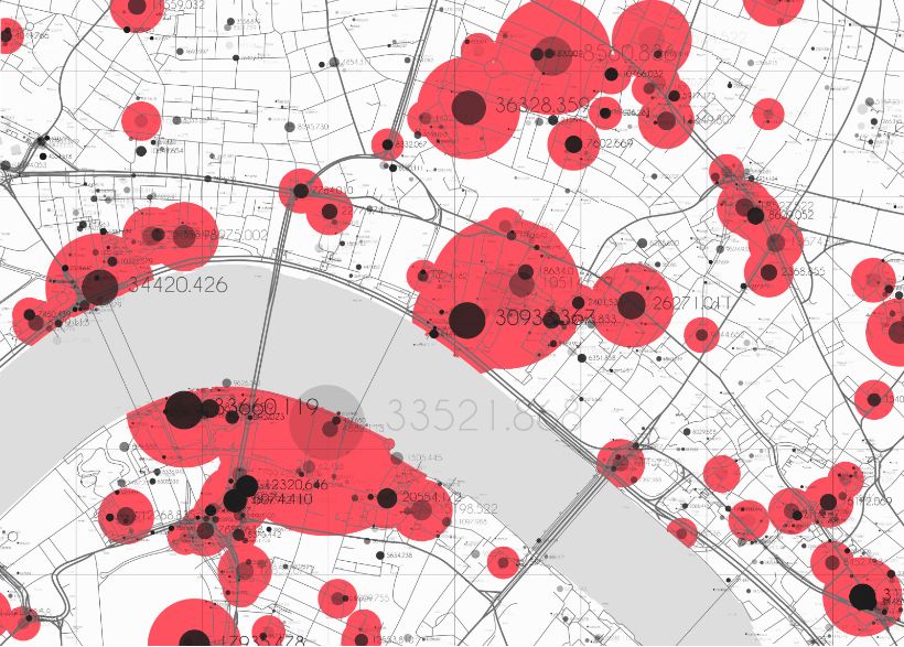 Location data can help inform local authorities’ decision making
By taking the crucial first step of recognising the need for investment and strategic change, changemakers in local authorities can deliver a GIS service capacity that will meet the future needs of their staff and resident users. With legacy technology impacting many local authorities’ GIS performance and, frequently, GIS teams that are too small to manage the level of demand from many hundreds of users, GIS support can be limited, with long resolution times. Users can’t self-serve, or may not fully understand GIS software’s benefits; or limited policies, procedures and guidelines make it difficult to standardise GIS data and share knowledge.
The local authority began its GIS journey with AtkinsRéalis digital experts taking time to better understand user issues, enabling a tailored approach to be adopted. Through incremental demonstrations, users could see how the new GIS solution would better support them in their roles – inspiring them to see the ‘art of the possible’. Strong strategic planning, combined with stakeholder engagement, positioned the transformation for success.
From strategy to implementation
Following strategy, a local authority can move to implementation, selecting either customised off-the-shelf or bespoke software. Incremental delivery managed change effectively, while comprehensive training sessions for over 300 users secured stakeholder buy-in.
The new GIS system empowered local authority employees across departments to deliver more value for residents, such as:
- The Public Health team’s new portal shows residents how the council is improving the health and wellbeing of people, including highlighting new facilities.
- The Planning team can now overlay information from multiple sources to quickly assess whether new planning applications encroach on, for example, protected environmental areas or heritage sites.
- The Children, Young People and Education team can now effectively plan where the best opportunities are for setting up new alliance service points by comparing the current supply with demand.
Sharing best practice
Once the system was optimised for both expert and non-technical GIS users, we established a GIS knowledge-sharing community, hosting an array of resources, such as step-by-step guides and data management best practice. With over 350 members, the GIS community actively shares ideas and insights, and maximises the use of spatial data in planning and decision-making.
The local authority’s GIS team has since grown and has a clear strategy and roadmap for the future – including a plan to share its success story with neighbouring local authorities.
In a time of pressured public funds, GIS is one tool which is enabling local authorities to better serve residents through improved service and data provision.